Mount Hotham
Overview
Key stats
Official website — Last checked 2026-09-13
Base elevation1449 m
Top elevation1855.7 m
Vertical drop406.7 m
Lifts14
Runs106
Total run distance35.84 km
Lifts by type
| Type | Count |
|---|---|
| t-bar | 1 |
| chair lift | 9 |
| magic carpet | 4 |
Runs by difficulty
| Difficulty | Distance |
|---|---|
| easy | 1.42 km |
| novice | 0.53 km |
| advanced | 12.24 km |
| freeride | 0.23 km |
| intermediate | 21.42 km |
Maps

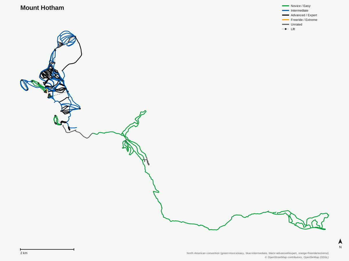
Mount Hotham: 172 runs, 14 lifts. Map data for Mount Hotham — © OpenStreetMap contributors, OpenSkiMap (ODbL)
Typical conditions by month
Monthly conditions data not yet available for this resort.
Lift tickets & passes
- Epic Pass — Unlimited during Australian winter season; physical card required
- Epic Australia Pass — Unlimited at all 3 AU resorts, plus 85+ international Epic resorts during NH 2026/27 season (blackouts apply at select NA resorts)
- AU Resorts Over 70's Season Pass — Unlimited across Perisher, Falls Creek and Hotham; age 70+ only; sold independently, no Epic Pass coverage
Getting there
Nearest airports
- Mount Hotham Airport (MHU) — 18.2 km straight-line
- Albury Airport (ABX) — 102.8 km straight-line
- Cooma Snowy Mountains Airport (OOM) — 179.3 km straight-line
Nearest cities
- Melbourne, Victoria — 214.2 km straight-line
- City of Port Phillip, Victoria — 217.2 km straight-line
- Bendigo, Victoria — 256.3 km straight-line
Where to stay
A dedicated lodging guide for Mount Hotham is not yet available.
Nearby resorts
- Falls Creek — 17 km straight-line, 267.1 m vertical
- Mount Buller — 66 km straight-line, 388.7 m vertical
- Thredbo Resort — 116 km straight-line, 670.7 m vertical
- Perisher — 129 km straight-line, 433 m vertical
- Coronet Peak — 2008 km straight-line, 446.1 m vertical
FAQ
FAQ not yet available.
Data sources
Last verified: 2026-09-13
Base facts from OpenSkiMap (ODbL), OpenStreetMap contributors, Wikidata (CC0), OurAirports (public domain) and GeoNames (CC BY 4.0). See /data-sources/.