Aspen Mountain
Overview
Key stats
Official website — Last checked 2026-09-13
Base elevation2426 m
Top elevation3431.4 m
Vertical drop1005.4 m
Lifts5
Runs138
Total run distance59.13 km
Lifts by type
| Type | Count |
|---|---|
| gondola | 1 |
| chair lift | 4 |
Runs by difficulty
| Difficulty | Distance |
|---|---|
| expert | 14.1 km |
| advanced | 13.56 km |
| intermediate | 31.47 km |
Maps
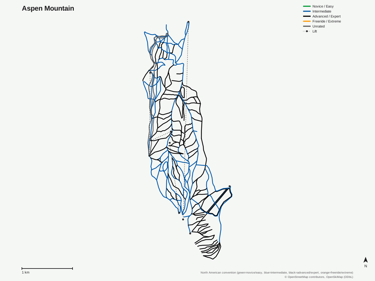
Aspen Mountain: 144 runs, 5 lifts. Map data for Aspen Mountain — © OpenStreetMap contributors, OpenSkiMap (ODbL)
Typical conditions by month
Monthly conditions data not yet available for this resort.
Lift tickets & passes
No multi-resort pass affiliations on record.
Getting there
Nearest airports
- Aspen-Pitkin County Airport (Sardy Field) (ASE) — 7.7 km straight-line
- Eagle County Regional Airport (EGE) — 53.7 km straight-line
- Gunnison Crested Butte Regional Airport (GUC) — 70.8 km straight-line
Nearest cities
- Lakewood, Colorado — 160.9 km straight-line
- Boulder, Colorado — 162.9 km straight-line
- Arvada, Colorado — 164.7 km straight-line
Also covered by
Where to stay
A dedicated lodging guide for Aspen Mountain is not yet available.
Nearby resorts
- Aspen Highlands — 4 km straight-line, 1061 m vertical
- Buttermilk — 5 km straight-line, 610.1 m vertical
- Aspen Snowmass — 12 km straight-line, 1341.2 m vertical
- Crested Butte Mountain Resort — 32 km straight-line, 705.7 m vertical
- Ski Cooper — 50 km straight-line, 353.2 m vertical
FAQ
FAQ not yet available.
Data sources
Last verified: 2026-09-13
Base facts from OpenSkiMap (ODbL), OpenStreetMap contributors, Wikidata (CC0), OurAirports (public domain) and GeoNames (CC BY 4.0). See /data-sources/.