
Manba / Okukan
Overview
Key stats
Official website — Last checked 2026-09-13
Base elevation346.1 m
Top elevation610.3 m
Vertical drop264.2 m
Lifts9
Runs3
Total run distance1.41 km
Lifts by type
| Type | Count |
|---|---|
| chair lift | 9 |
Runs by difficulty
| Difficulty | Distance |
|---|---|
| easy | 0.94 km |
| intermediate | 0.48 km |
Maps
View official Manba / Okukan trail map (PDF) →
Run & lift overview
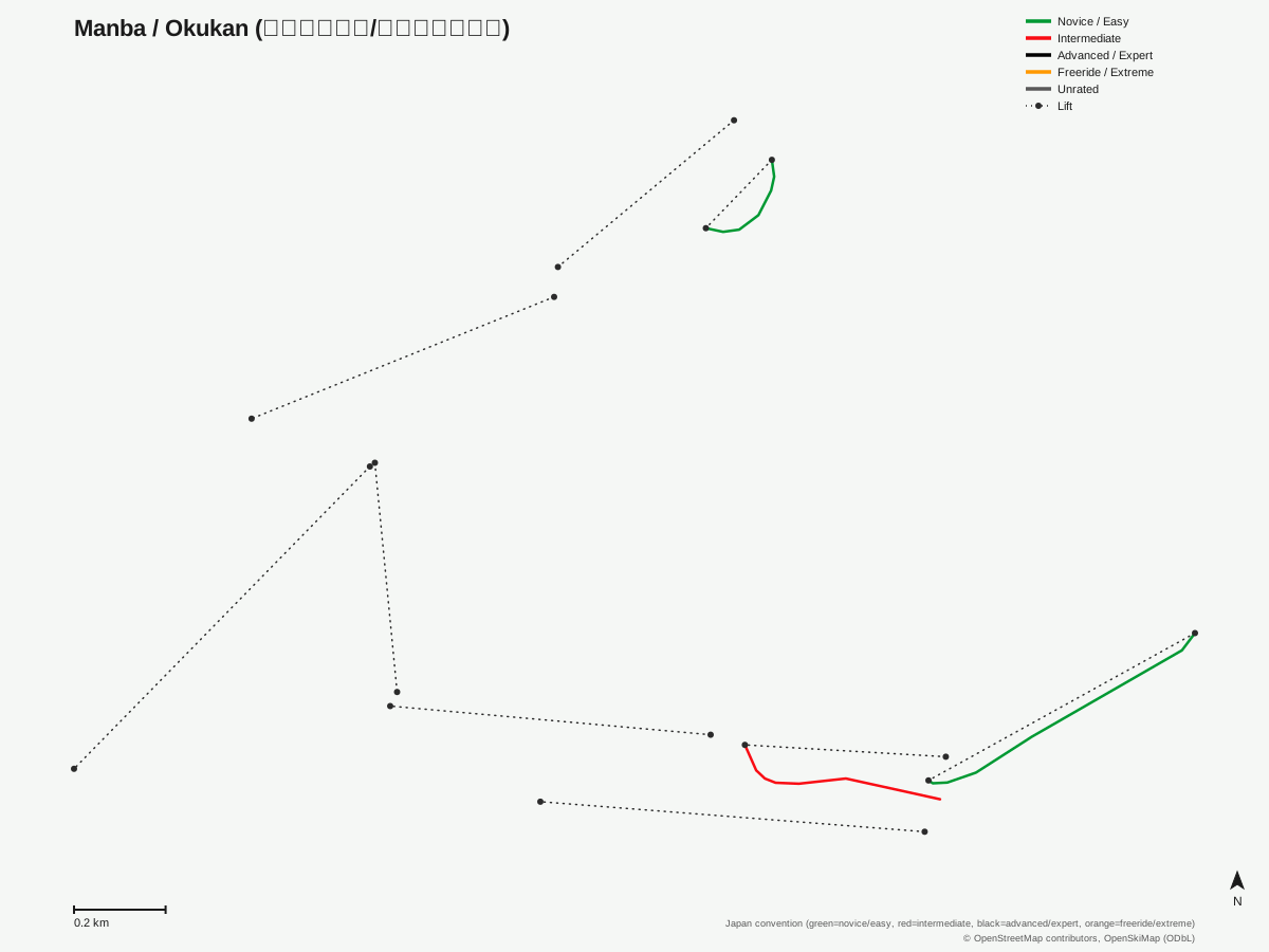
Manba / Okukan: 3 runs, 9 lifts. A schematic built from OpenStreetMap/OpenSkiMap data — this is not Manba / Okukan's official trail map. © OpenStreetMap contributors, OpenSkiMap (ODbL).
Getting there
Nearest airports
- Konotori Tajima Airport (TJH) — 13.2 km straight-line
- Tottori Sand Dunes Conan Airport (TTJ) — 43.5 km straight-line
- Osaka Itami International Airport (ITM) — 107.4 km straight-line
Nearest cities
- Tottori-shi, Tottori — 37.1 km straight-line
- Himeji, Hyōgo — 75.4 km straight-line
- Tsuyama, Okayama — 76.3 km straight-line
Also covered by
Passes
Manba / Okukan has no multi-resort pass affiliations on record.
Nearby resorts
- Ojiro Ski Resort — 12 km straight-line
- Sky Valley Ski Area — 13 km straight-line
- Hachi Kita Ski Area — 14 km straight-line
- Hyper Bowl Tohachi — 14 km straight-line
- Mikata Snow Park — 14 km straight-line
FAQ
FAQ not yet available.
Data sources
Last verified: 2026-09-13
Base facts from OpenSkiMap (ODbL), OpenStreetMap contributors, Wikidata (CC0), OurAirports (public domain) and GeoNames (CC BY 4.0). See /data-sources/.